

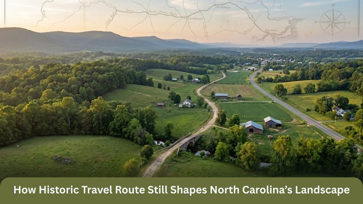
North Carolina’s landscape is shaped by mountains, rivers, and forests—but it has also been shaped by history. Long before highways, railroads, and cities existed, early travel routes carved paths through the land. These routes guided settlers, traders, and explorers and left a lasting mark that can still be seen today.
One historic travel route in particular continues to influence North Carolina’s roads, towns, and land use. Though much of it has faded from view, its impact remains woven into the state’s geography. Understanding this route helps explain why communities developed where they did and why modern roads follow certain paths.
Travel in Early North Carolina


In the 18th century, travel in North Carolina was slow and difficult. Dense forests, rugged mountains, and wide rivers made movement challenging. Early settlers relied on narrow paths created by Native American tribes, wildlife trails, and natural land features.
These early routes were not random. They followed valleys, crossed rivers at shallow points, and avoided steep terrain whenever possible. Over time, one route became especially important, serving as a main corridor between eastern settlements and the western frontier.
From Native American Paths to Frontier Trails
Long before European settlers arrived, Native American tribes used established paths for trade, hunting, and seasonal migration. These routes connected villages and crossed the Appalachian region using natural mountain gaps.
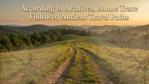
As settlers moved into North Carolina, they followed and expanded these paths. What began as foot trails became horseback routes and eventually wagon paths. This transformation laid the foundation for a historic travel route that guided settlement across the region.
Shaping Settlement Patterns
The historic travel route influenced where people chose to settle. Communities developed near the trail because it provided access to trade, communication, and transportation.
Farms were established along fertile valleys near the route, while inns, taverns, and trading posts appeared to serve travelers. Over time, these small settlements grew into towns. Many modern North Carolina communities owe their location to this early travel corridor.
Impact on Trade and Economy
Trade depended on reliable travel routes. Farmers and craftsmen used the historic route to transport crops, livestock, and handmade goods. In return, they received tools, supplies, and news from other regions.
The route connected local economies and helped North Carolina grow economically. It allowed goods to move between the mountains, piedmont, and coastal regions, strengthening trade networks that supported long-term development.
Influence on Modern Roads
One of the clearest signs of the historic route’s influence is found in modern transportation. Many highways and secondary roads follow paths similar to early trails.
Engineers often reused these routes because they already followed the most practical paths through the landscape. Valleys, river crossings, and mountain passes identified centuries ago remain the best routes today. As a result, North Carolina’s modern road system still reflects decisions made by early travelers.
Changes to the Natural Landscape
The historic travel route also altered the natural environment. As settlers moved along the path, forests were cleared for farms, towns, and roads. Wildlife patterns changed, and rivers were crossed with bridges and fords.
Though modern development has transformed much of the landscape, traces of the original route can still be found in old roadbeds, place names, and property boundaries.
Cultural Connections Along the Route
Beyond physical changes, the route helped shape North Carolina’s culture. As people traveled along it, they shared traditions, music, farming techniques, and beliefs.
Communities connected by the route developed shared customs that still influence regional culture today. The movement of people along this corridor helped create a sense of identity that spread across the state.
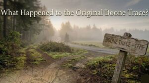
Why the Route Faded from View
As railroads and highways replaced older paths, the historic travel route gradually disappeared from public memory. New transportation systems offered faster and easier travel, making old trails seem outdated.
Development covered many sections of the original route, while others were reclaimed by nature. Without clear markers or preservation efforts, the route faded into history, even as its influence remained.
Preserving the Route’s Legacy
Today, historians and preservationists work to document and protect what remains of historic travel routes in North Carolina. Old maps, journals, and land records help reconstruct their paths.
Preserving this history does not always mean restoring the physical trail. Education, historical markers, and digital maps can keep the story alive and help people understand how the landscape was shaped.
Why This History Matters
Understanding historic travel routes helps explain why North Carolina looks the way it does today. Roads, towns, and economic centers did not appear by chance—they developed along paths shaped by geography and human movement.
By recognizing the influence of these routes, we gain a deeper appreciation for the state’s history and the generations who shaped its landscape through travel and settlement.
Conclusion
A historic travel route continues to shape North Carolina’s landscape in ways many people never notice. From the placement of towns to the direction of highways, its influence remains deeply embedded in the land.
Though much of the route has vanished, its legacy endures. By learning about and preserving this history, North Carolina honors the paths that connected its people and helped build the state we know today.